Off Trail
// The Wind River High Route, Wyoming //
The Wind River High Route feels like the kind of place you're supposed to keep quiet about.
"Shhh... don't tell people about this," a few hikers told us over the course of our nine-day hike.
And yet here I am writing about it, and there's something uncomfortable about trying to share a place that feels so deeply shaped by its remoteness. But as it was my first true off-trail hike, it will stay with me for a long time.
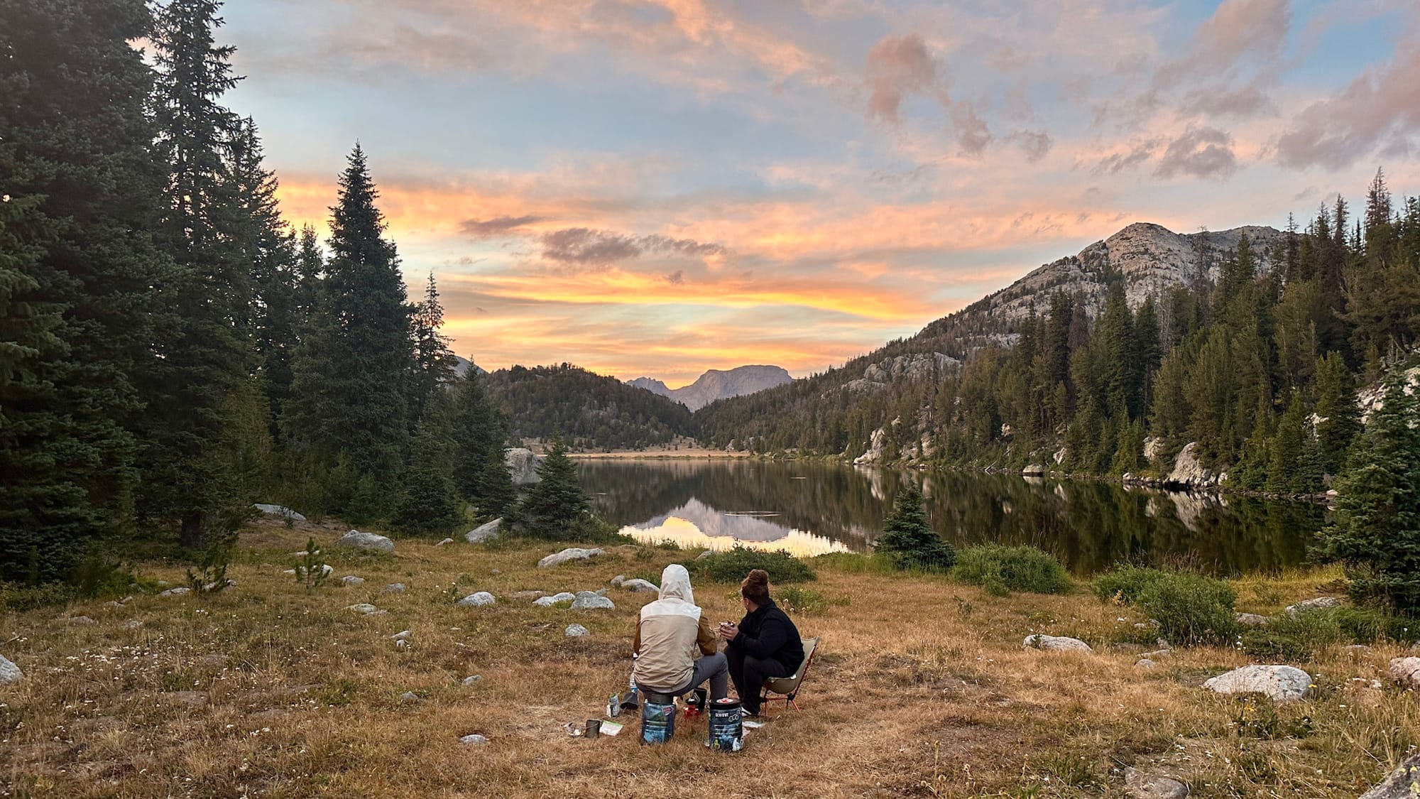
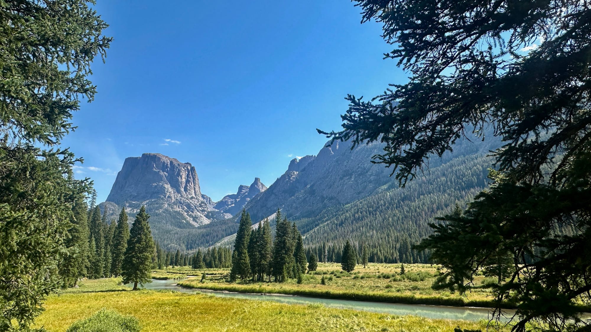
Two high school buddies and I met in Salt Lake City, pointed a rented Toyota Camry toward Wyoming, and somehow coaxed it down roads that probably deserved something with four-wheel drive. We hiked a variant of the Wind River High Route, beginning near Green River Lakes and finishing at Big Sandy, where greasy burgers and cold beers tasted as good as any meal I've ever had.
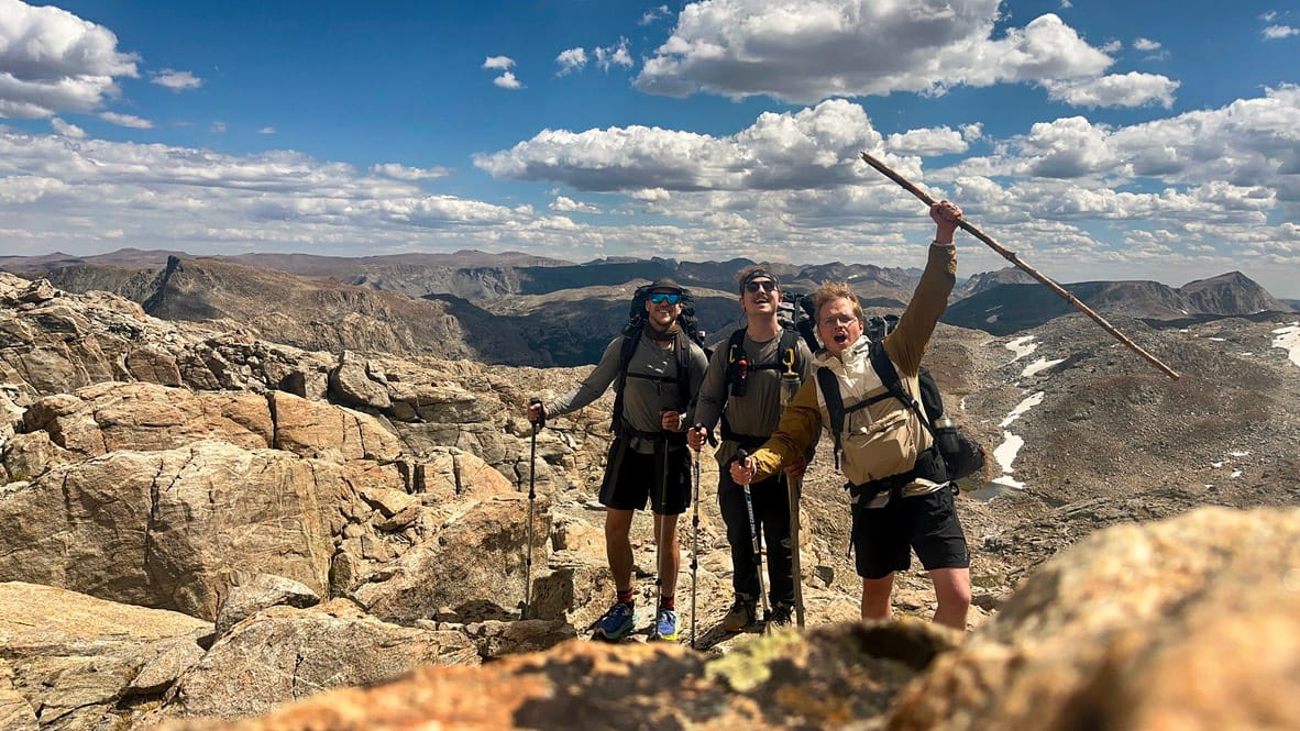
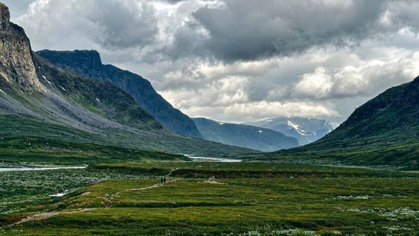
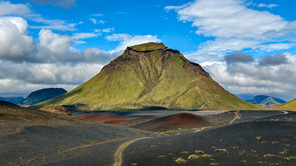
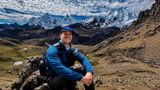
Leading up to the trip, I'd just finished the Laugavegur Trail in Iceland and the Kungsleden in Sweden. I was quite exhausted, and part of me dreaded another big trek. But I had this romantic picture in my head: no trails, wild campsites, days without seeing another person. I looked forward to a world completely different from the dramatic Icelandic highlands and the sweeping Arctic valleys.
And it turned out to be a very different world—not only because of the sharp mountains and the treacherous, empty valleys, but also because of how much thinking I had to do.
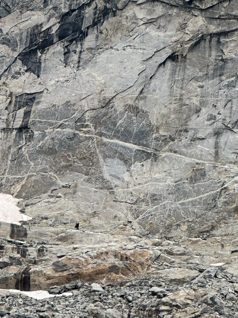
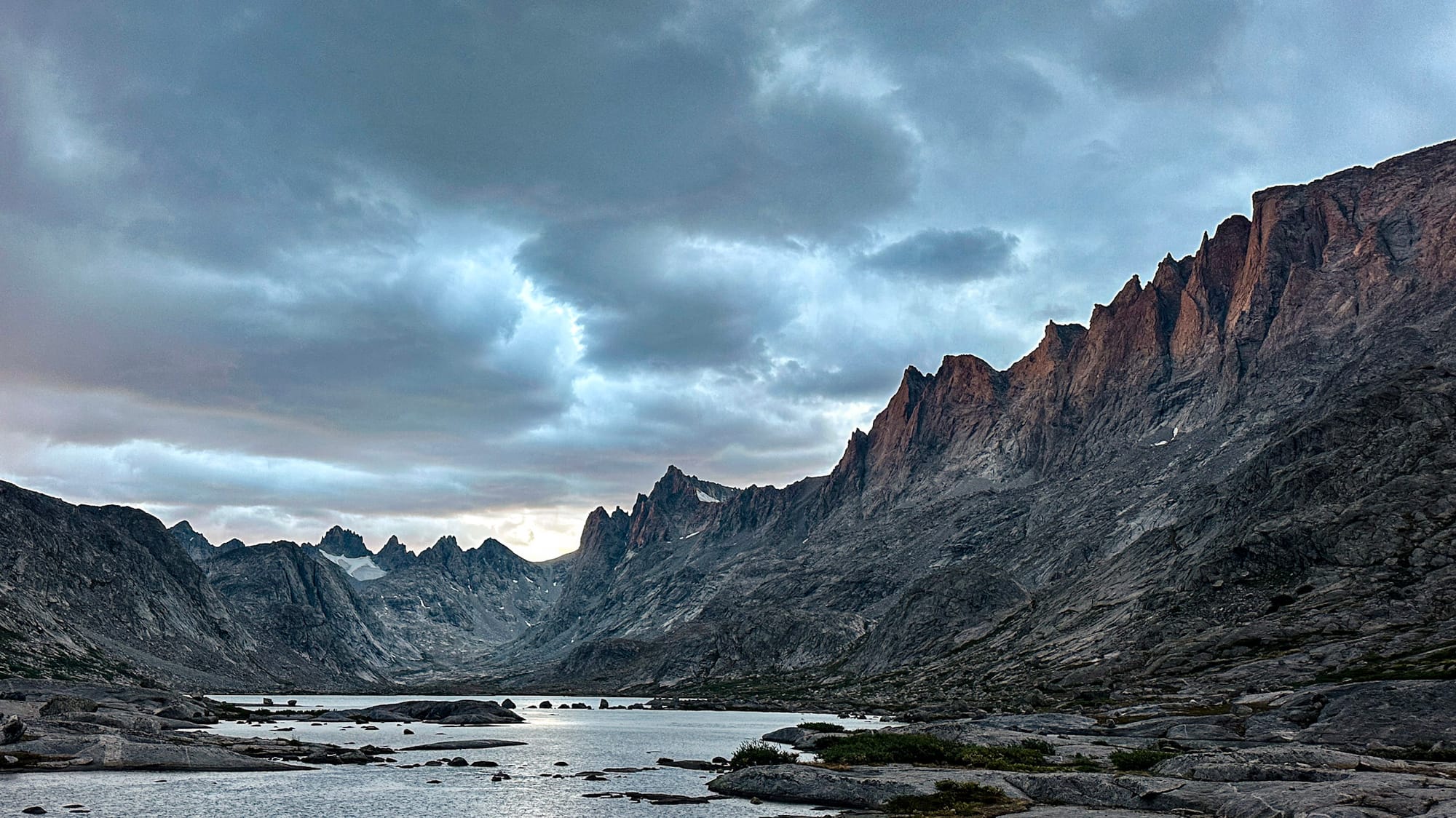
Off-trail hiking is mentally exhausting. On a trail, someone has already made thousands of tiny decisions: where to cross the creek, which side of the ridge is safest, where the grade is manageable. Off trail, those decisions come back to you.
Every hundred yards, we'd stop.
"Should we go left?"
"Does that cliff band go?"
"Think we can cross over there?"
"What's on the other side of that ridge?"
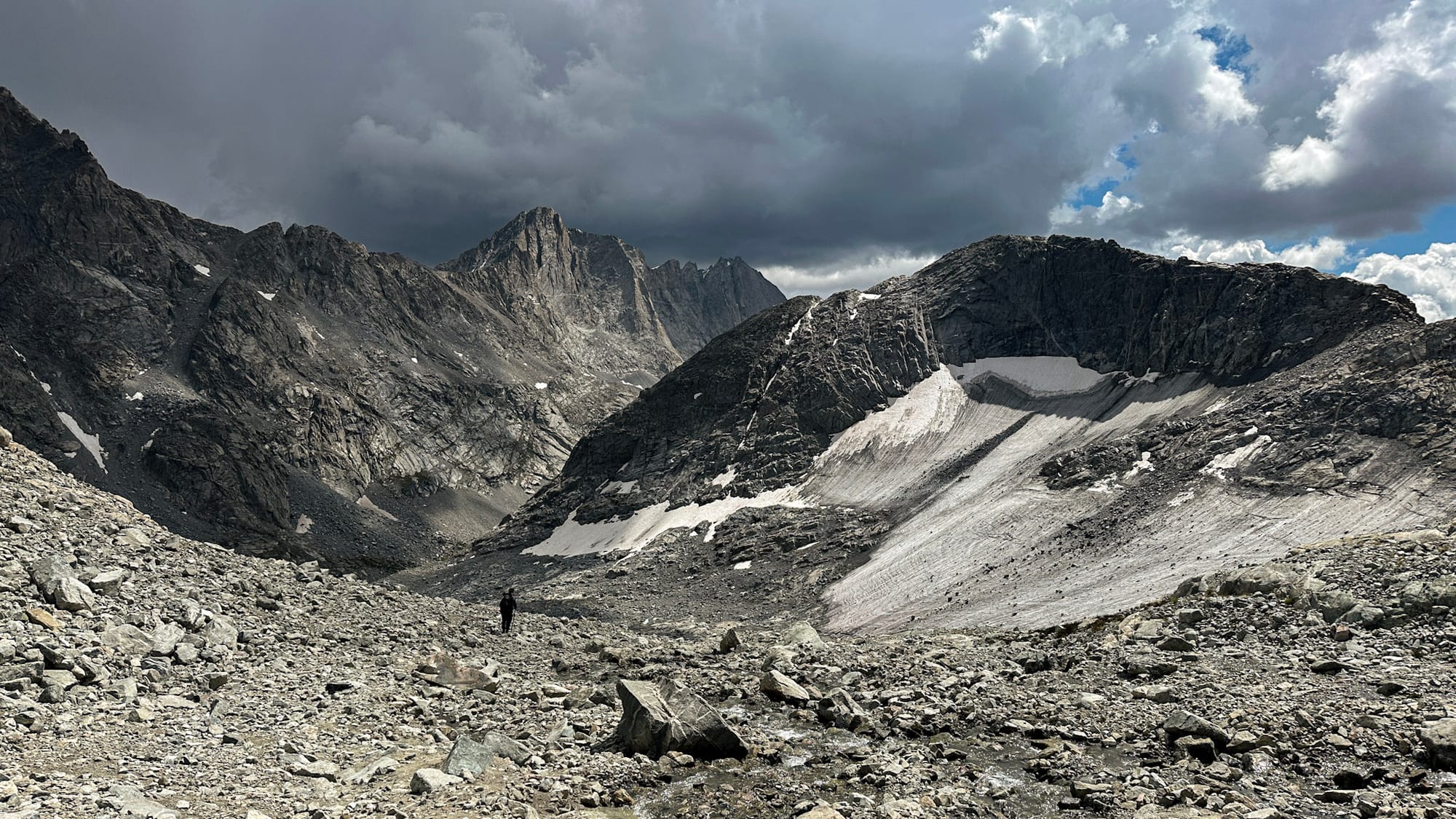
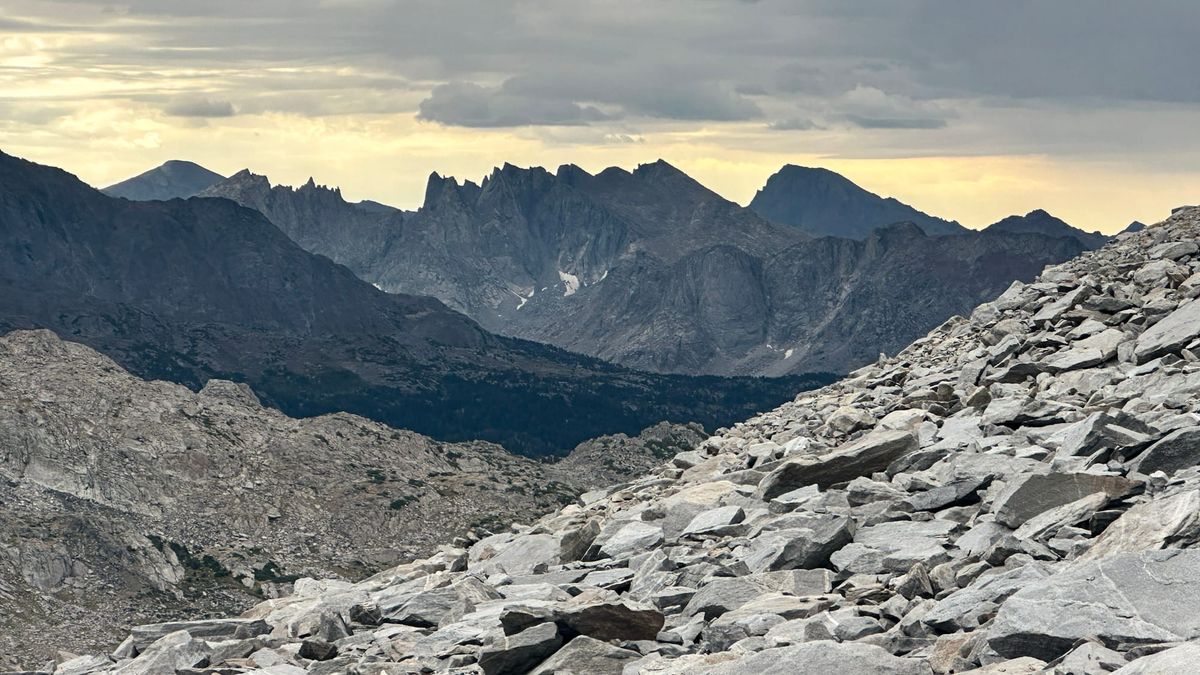
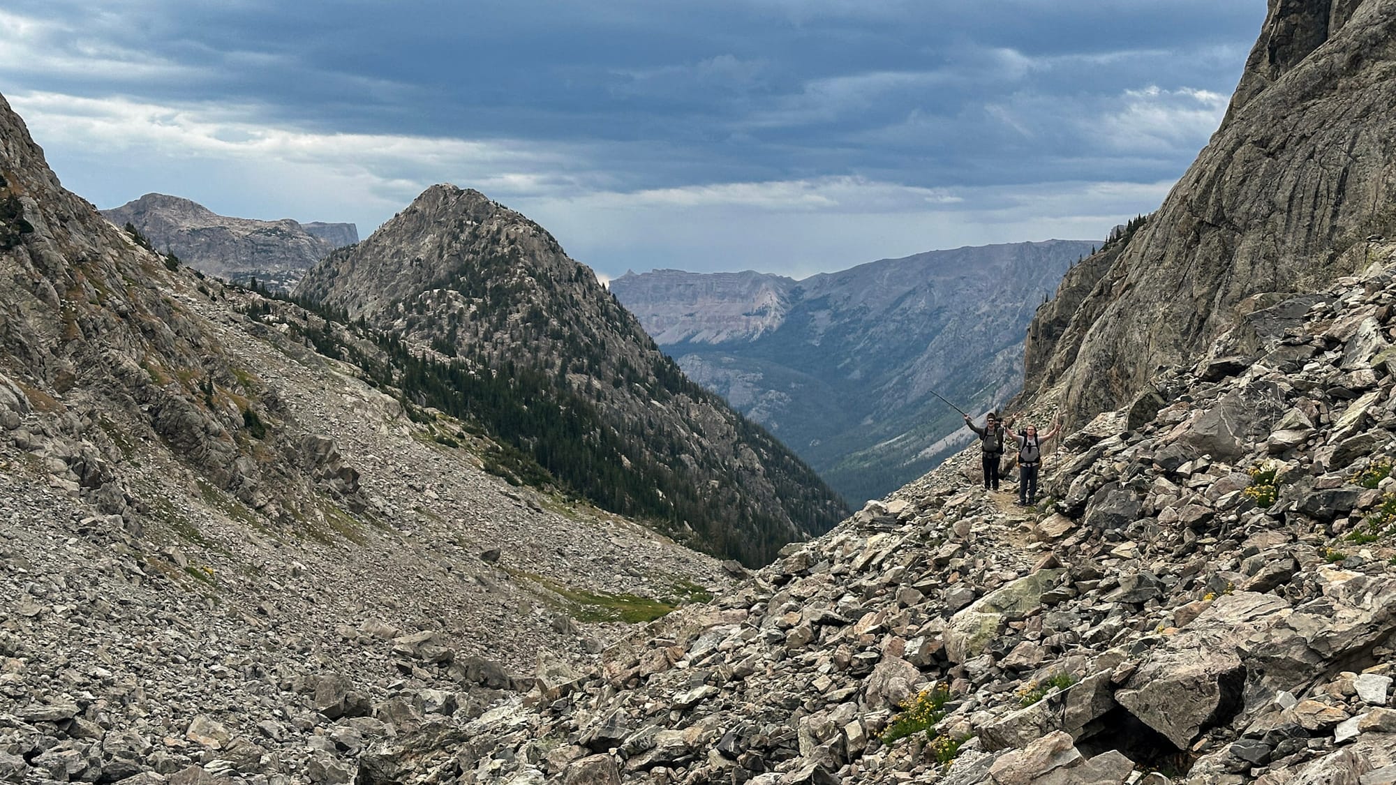
Two days in, we reached Knapsack Col, our first high pass. We woke before sunrise and slowly worked our way up the broad face. Here and there, a faint trail appeared, only to disappear beneath talus again. A few hikers coming from the opposite direction tipped us off to stay left and avoid the snowfield.
At the top, none of the options looked especially good. We could descend loose scree. We could scramble through refrigerator-sized boulders that looked as though they'd been dropped there yesterday. Maybe we could slide down the snow.
I picked the boulders.
As I climbed over rocks twice my size, I remember quietly saying, "Please don't move. Please don't crush me."
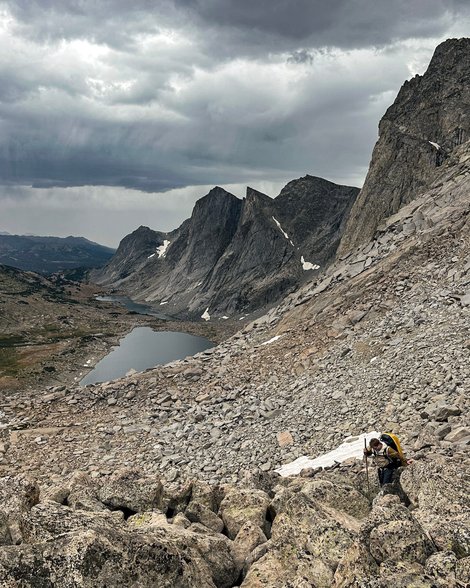
As if on cue, thunder rolled across the basin. Descending from our separate not-paths, the three of us hopped from boulder to boulder across the valley floor, searching for whatever shelter we could find beneath a ridgeline. Dark clouds swallowed the surrounding peaks one by one as rain swept across the basin. We crouched beneath an overhang and waited.
Twenty minutes later, the storm had moved on as quickly as it had arrived. We shouldered our packs and continued south, eventually reaching Titcomb Basin, where, for the first time that day, a real trail appeared beneath our feet.
The days continued with a pattern of losing a trail, finding a trail, and making a trail. I was constantly trying to predict the mountains. From below, I'd search for weaknesses in cliff bands. I'd study contour lines and compare them to what I could actually see.
The stakes weren't dramatic, but they were constant. Pick the wrong side of a lake and you might lose an hour. Commit to the wrong drainage and suddenly you've added a thousand feet of climbing. Chase what looks like the obvious pass, only to discover cliffs on the other side.
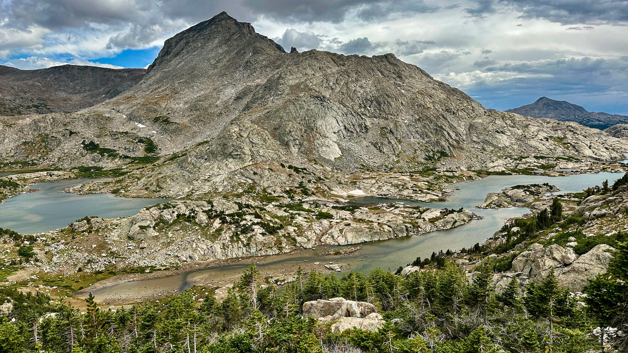
One morning, we descended from the Continental Divide by hopping alongside a creek that was really just a series of small waterfalls. We zigzagged from bank to bank, balancing across wet boulders and searching for openings that never seemed to last very long.
The moment our feet touched a proper dirt trail, the three of us let out an audible sigh. The climb ahead was still substantial, but we were relieved that someone else had already solved the puzzle.
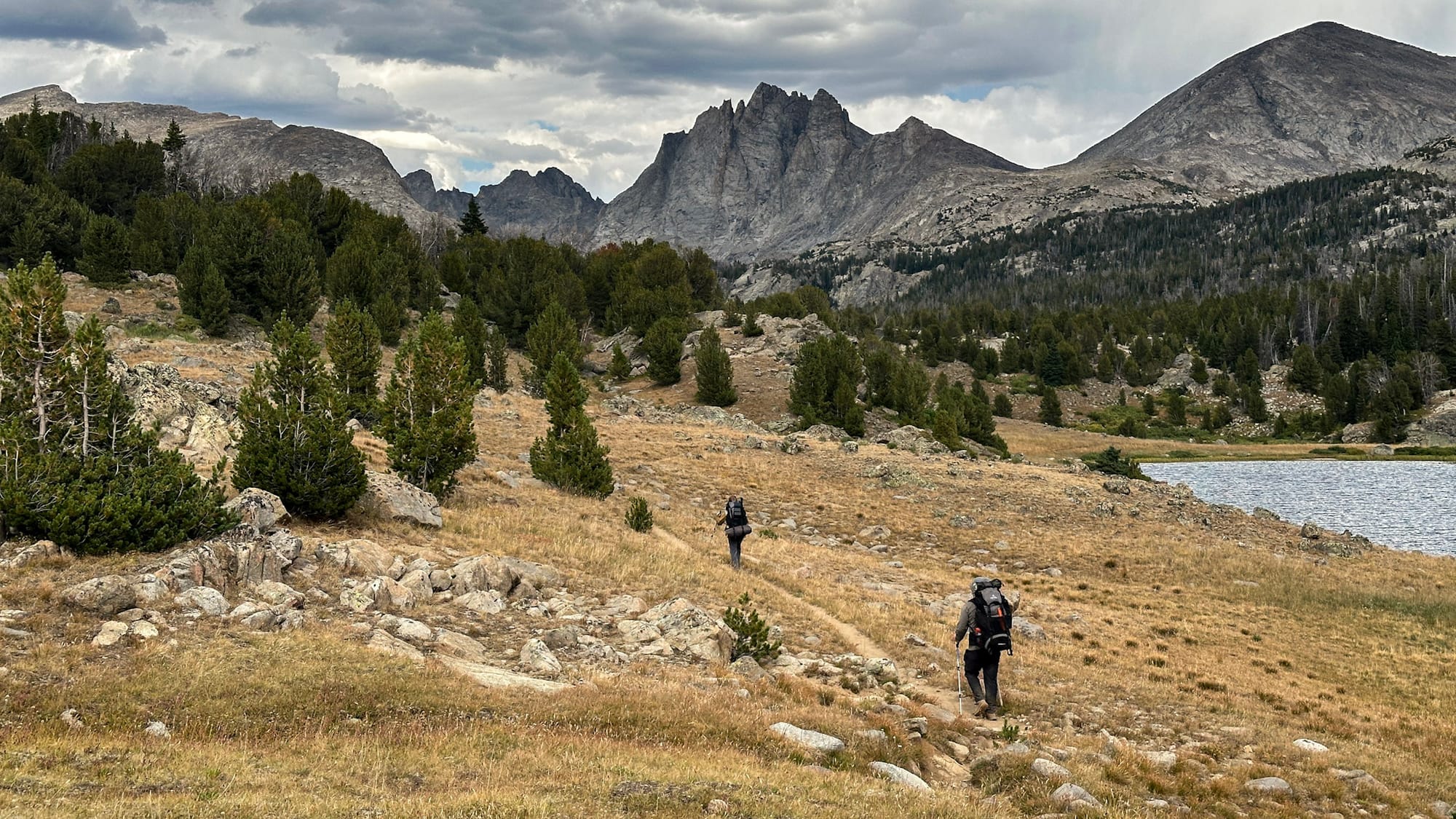
And I think the puzzle is precisely why the Winds feel so unique.
On the drive to the trailhead, our shuttle driver told us the state had once talked about paving the long dirt road into Green River Lakes. Locals pushed back. They knew easier access would bring more people, and more people would slowly change the character of the place.
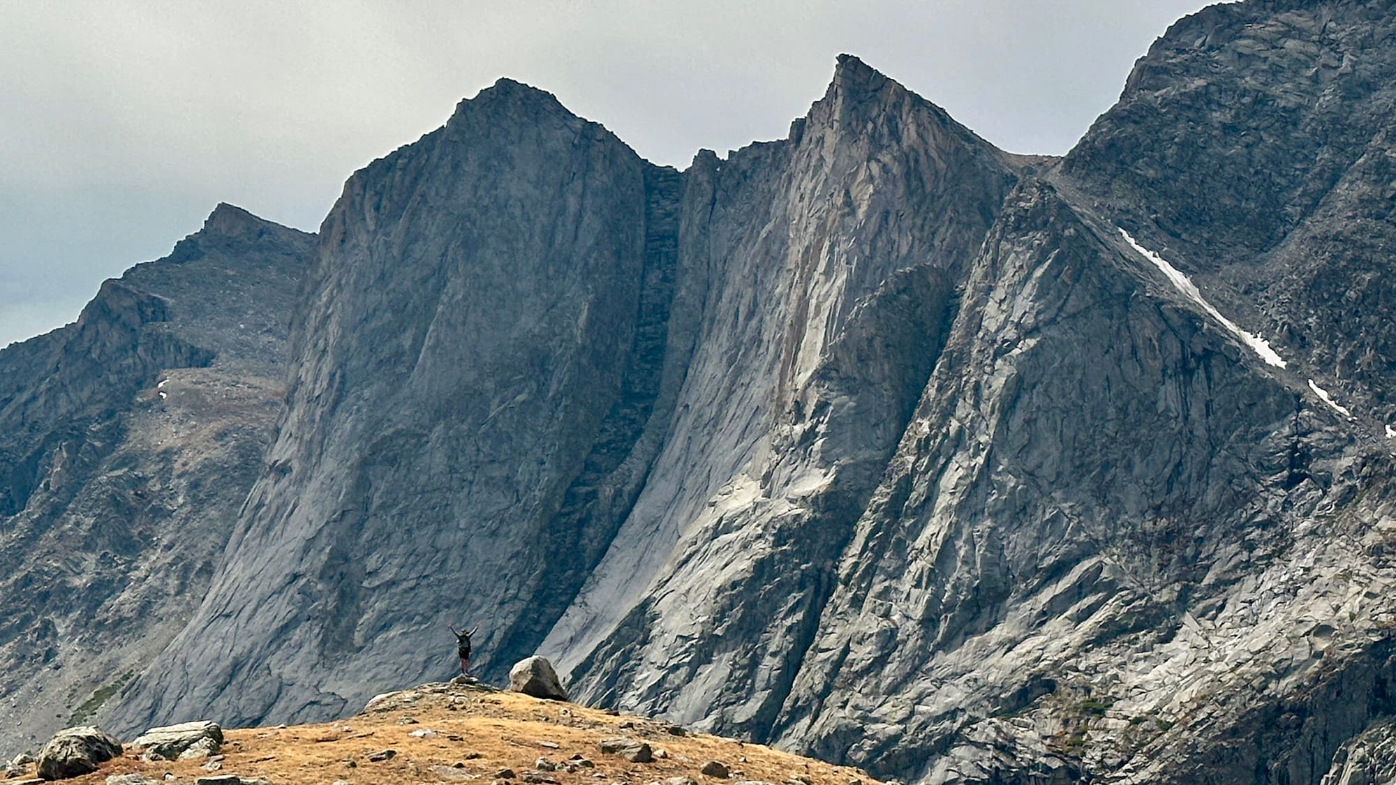
At first, that felt a little selfish, but by the end of the hike, I wasn't so sure.
The Winds aren't protected by entrance stations or reservation systems. They're protected by commitment: four hours of rough roads, nine days of route finding, afternoon thunderstorms, and steep passes lined with unforgiving fields of scree and talus.
I keep coming back to the thought that access changes a place. Roads bring visitors, and visitors bring infrastructure. Better infrastructure makes a landscape easier to experience, but the experience itself changes along with it.
But when should we limit our pursuit of access? Is it elitist, ableist, even undemocratic to argue that some places should remain difficult to reach? The difficulty creates a natural exclusion, but also an inherent conservation strategy.
Those are thoughts I will continue to wrestle with.